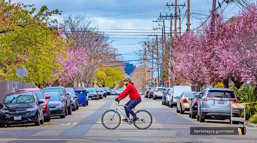
Give feedback on a plan to make it safe, comfortable, and convenient for everyone to get around Berkeley on foot or with an assistive device. We're taking comments online through October 31.
The draft Pedestrian Plan lays out a framework to transform Berkeley into a model walkable City where community members of all races, ethnicities, incomes, ages and abilities can get around safely and easily without a vehicle, while prioritizing investment in historically underserved neighborhoods. Our hope is to ultimately create a safer, more inclusive, and more connected city for everyone.
Submit feedback on draft Pedestrian Plan by October 31
A product of a multi-year effort to identify critical gaps and opportunities around walking in Berkeley, the plan outlines a set of strategies and performance measures for advancing three core goals:
- Increase safety and comfort for people walking
- Increase equity and transportation for all
- Improve public health and environmental sustainability
The heart of the plan is a series of detailed recommendations for 10 high injury street segments. The document maps out specific strategies for making pedestrians more visible and reducing conflicts with vehicles on:
- Adeline Street, Ashby to Berkeley border (S)
- Alcatraz Avenue, Sacramento to Adeline
- Ashby Avenue, San Pablo to Shattuck
- Cedar Street, Sixth to Stannage
- Martin Luther King Jr. Way (North), Hearst to Dwight
- Martin Luther King Jr. Way (South), Dwight to Adeline
- Sacramento Street, Dwight to Berkeley border (S)
- San Pablo Avenue, University to Dwight
- Shattuck Avenue, Adeline to Berkeley border (S)
- University Avenue, San Pablo to Oxford
Review the recommendations at walkberkeley.info/draftplan and submit feedback by October 31.
The plan will go to the City Council for adoption in December 2020.
A walkable city is a healthy, equitable, sustainable city
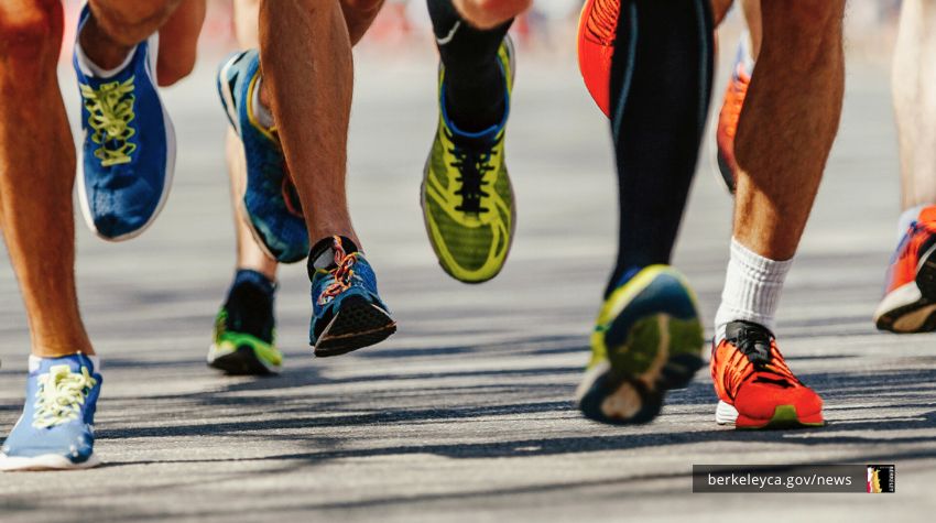
As the most accessible and affordable form of transportation, walking lies at the core of an equitable mobility network and a healthy community. Improving walking in Berkeley means improving networks within neighborhoods, providing linkages to local destinations and transit, and providing affordable opportunities for play and exercise.
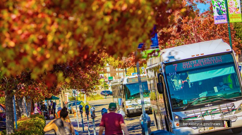
With transportation responsible for 60% of Berkeley's greenhouse gas emissions, decreasing the need for vehicle trips is a core aspects of the City's overall climate strategy. The Pedestrian Plan update supports the City's strategic plan goals to "be a global leader in addressing climate change, advancing environmental justice, and protecting the environment," "provide state-of-the-art, well-maintained infrastructure, amenities, and facilities," and "champion and demonstrate social and racial equity."
The Pedestrian Plan is one of many ways the City works to make it easier for everyone to get around Berkeley. Efforts like the Shattuck Reconfiguration and Pedestrian Safety project and Hearst Avenue Complete Streets project make Berkeley's streets safer for all modes of travel, including walking, biking, taking transit, and driving. Likewise, the goBerkeley program actively manages parking to increase parking availability and reduce the harmful effects of circling for parking.