Complete a brief survey about how your household would handle an emergency evacuation in the face of a wildfire, tsunami, or other disaster.
These responses will help the City develop an estimate of how long it will take Berkeleyans to get out of the path of an emergency hazard – and then develop tools to help.
The survey will ask about your household size, transportation routines, estimated commute times, and current household evacuation plans.
We want responses even if you still need to create an evacuation plan. We want to create a plan based on all realities. Fill out the survey even if you don’t live near a wildfire zone, where such a plan takes on greater urgency. An evacuation may require people in unaffected areas to take a role.
Have one person per household complete Berkeley’s Community Evacuation Survey by September 30, 2023.
Survey will improve evacuation strategies
Survey results will be combined with engineering analysis on Berkeley’s roadways to create a comprehensive Evacuation Time Study to refine and adjust the City’s evacuation strategies.
The completed study will provide critical data that will:
- Confirm current roadway capacities
- Identify prioritized locations for Safe Passages roadway treatments to facilitate quicker evacuations
- Establish realistic time estimates for evacuating under scenarios like wildfire and tsunami
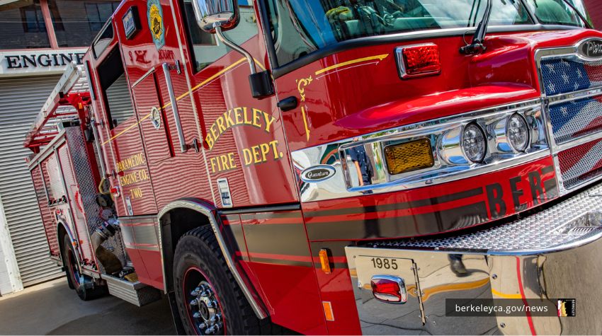
The Evacuation Time Study is scheduled for completion by the end of 2024. If you have questions, please contact the Berkeley Fire Department's Office of Emergency Services: oes@berkeleyca.gov.
Study part of a larger effort to reduce wildfire risk
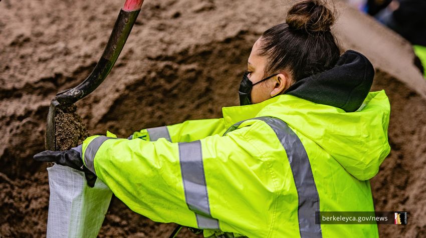
This evacuation study is one of several Berkeley Fire Department initiatives to better prepare our community for disasters. Measure FF, a parcel tax approved by Berkeley voters in 2020, provided funding for these efforts.
Measure FF also led to the creation of Berkeley Fire’s new Wildland Urban Interface Division in 2022, which leads a number of efforts to reduce risk. This includes inspecting over 8,500 properties in the City’s highest fire risk zone and providing personalized reports and guidance on reducing that risk. The division also expanded resources, such as the City’s Chipper program.
Helping community members understand their role and improve their strategies is part of this work.
Take the next step in enhancing community safety. Please complete the Community Evacuation Survey by September 30.