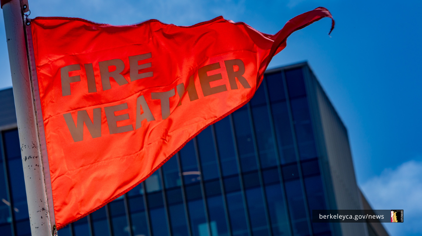
From Wednesday, June 10 at 11:00 PM until Thursday, June 11 at 9:00 AM, the National Weather Service predicts “Red Flag” dry and windy conditions that lead to quick ignition and spread of wildfires.
The weather service predicts winds of 10 to 20 miles per hour with gusts up to 45 miles per hour. In addition, humidity is forecast between 12 to 18%.
Residents in the high-risk zones of the Berkeley Hills and other hillside neighborhoods should take extra steps to be ready for evacuation.
These conditions require all Berkeleyans to take greater precautions to prevent fires:
- Don’t use charcoal or burn wood.
- Use extreme caution with BBQs, power equipment, and anything else that creates heat or sparks.
- Park on pavement, not on grass or other vegetation. Avoid idling a car.
Make safe choices. Follow fire-safety rules on public and private property. Fireworks are illegal in Berkeley and nearby areas. Barbecues are prohibited in City parks during red flag weather.
Make sure you are signed up for emergency texts and emails through AC Alert and know how to navigate the City’s emergency map, which would indicate emergency actions for each neighborhood.
Prepare to leave if you live in high-risk areas
Red Flag Warnings are an early indicator of increased wildfire risk. These warnings are issued when strong winds, low humidity, and dry vegetation can combine to create dangerous fire conditions that can cause wildfires to spark easily and spread rapidly.
Residents in the Berkeley hills who are at higher fire risk can see the protective actions outlined for their neighborhood at any time by entering their address on the City’s Emergency Map.
During Red Flag Warnings, City staff monitor weather conditions closely and, in an emergency, will first update the Emergency Map with protective actions, such as an evacuation.
Hill residents should take steps now to leave faster if an evacuation is needed.
One of the best ways for all residents to prepare for emergencies is to:
- Sign up all your devices for AC Alert, which will be used to send alerts about protective actions you should take.
- Use Berkeley’s Emergency Map to monitor important locations such as your home, work, or child's school. Using the web version, you can browse and easily share locations via text or email. You can also download the Genasys Protect App , and receive real-time alerts about any status changes or emergencies in those zones.
- During high-risk weather, keep your phone on even if you are sleeping and don’t use “do not disturb” mode.
If you see something unsafe or not allowed, call 911 right away.
Complete a household fire weather and evacuation plan
Having a plan helps you make decisions ahead of time, so you can act faster and evacuate more quickly in an emergency.
Review your plan with all the members of your household and anyone who would help you to leave early or evacuate.
- Plan multiple ways out of your neighborhood. For wildfire evacuation out of the Berkeley hills, your safest option is using a car. Make plans to drive or carpool with neighbors.
- Put your go-bag by the front door. You can evacuate faster if you are ready to leave when ordered.
- Park off-street. Back your car into your driveway or garage. This helps clear streets clear for emergency vehicles and prepares you to leave more quickly if needed.
Learn more about Red Flag Warnings on our Fire Weather and Evacuation webpage.
Additional resources about “red flag warnings”
- National Weather Service
- Fire Weather and Evacuation
- City’s emergency alerting tools
- Bookmark Berkeley’s emergency map or download the Genasys Protect App.
- Use our Fire Weather Planning Tool to decide when you’ll leave, where you’ll stay and what you’ll pack.
- Visit the FireSafe Berkeley website to learn about programs to protect your property and community.
- Check for power outage information at PG&E’s Outage Center.